Waymark
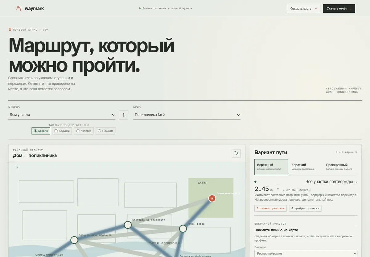
Routes that account for steps, slopes and crossings.
Who it is for
Residents and city teams who check the accessibility of a specific route.
What it does
On a sample map it compares routes for wheelchairs, walkers, strollers and pedestrians. It shows where obstacles are confirmed and where data is missing, and segments can be marked and edited.
What you get
A report, a CSV list of segments and a portable street map as JSON.
Limits
The map is a demonstration, not official navigation: conditions must be verified on site.
Other projects
- LevelSeedRepeatable game maps from a seed.
- Pathfinding VisualizerCheck that a level's exit and required rooms are reachable.
- BranchbookAn interactive lighthouse story with 8 endings.
- Photo TerrainTurn a photo or sample into a relief blank.
- TonalA photo palette with contrast checks.
- Exposure LabAn exposure calculator with a test scene.
- Pixel Animation StudioA pixel animation editor with GIF export.
- Silva · Plant GrowthPlant growth variants for a scene or a plot.
- WaterlineA teaching model of rain, tide and coastal protection.
- MendbookA passport for your belongings: purchases, warranties, repairs.
- SlatehouseA shooting day: scenes, light, moves and call times.